
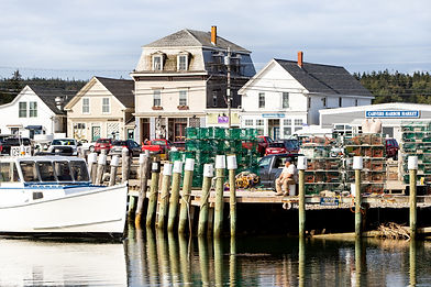
Maine Islands Project
Community Resilience Resource Hub for Maine's Year-round Unbridged Islands


Coming Soon...
Community Pages – Your story, your projects. Data, maps, studies, and more all in one place.

About the Maine Islands Project
The Maine Islands Project (MIP) is a collaborative effort of the Island Institute and Resilient Communities, L3C designed to help year-round unbridged island communities identify vulnerabilities, set priorities, and take meaningful action.
The project provides technical assistance, planning support, and guidance in accessing funding for projects that protect infrastructure, natural resources, and year-round community sustainability.

What MIP Offers
-
Help identifying resilience priorities and community values
-
Support navigating technical data and early project planning
-
Guidance for engagement and implementation strategies
-
Assistance securing funding for next steps
Focus
Each island receives tailored support. The current phase focuses on:
-
Assessing climate risks and community challenges
-
Prioritizing projects and solutions
-
Preparing for future funding and implementation
Deliverables include a high-level gap analysis and a community vulnerability assessment.
Timeline & Funding
Phase 1 is funded through Maine’s Community Resilience Partnership Track 2 Service Provider Grants and runs through June 2026. Phase 2 intends to provide engineering and implementation support and was originally expected to be funded through FEMA’s BRIC program. Following the program’s cancellation, we are actively pursuing alternative funding to sustain and expand the work.
About this site
The goal of this website is to serve as a living, evolving tool for island communities to share resilience planning assessments, information, and community documents. It should be thought of as a living library and a way we can learn from each other.


Gabe McPhail

Abby Roche
MIP facilitators: how we work
MIP is co-created and facilitated by Gabe McPhail of Resilient Communities L3C and Abby Roche, Community Development Officer at the Island Institute. With deep experience in resilience planning and a long-standing commitment to Maine’s islands, we work in close partnership with each community—drawing on your local knowledge and building on the work already underway.
Our approach is flexible, community-led, and grounded in shared learning. We tailor our support to fit local needs and goals, and work with you to identify challenges, explore solutions, and strengthen the systems that make island life sustainable.
We are fortunate to work with a a number of talented, experienced resilience and sustainability practitioners. Check out the Partners page to learn more.


